
Directions from 1 Point-Layer#
Using the vertices we saved earlier, we can now calculate the route again — this time using the ORSTools Processing Toolbox for an even more flexible and also repeatable approach. To do this, use the Directions from 1 Point-Layer
tool. It allows you to calculate the route based on the saved layer, making it easy to adjust parameters and rerun the
analysis until you’re fully satisfied with the result.
Open the “Directions from 1 Point-Layer” tool, then select the vertices layer you saved earlier. Set the travel
preference to foot-hiking once again to ensure the route is optimized for walking trails. Scroll a bit further down to
set the avoid polygons option to our Bears layer again.
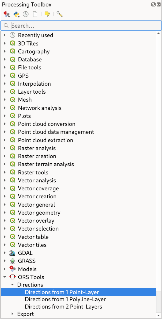
Fig. 25 The Directions from 1 Point-Layer tool in the toolbox#
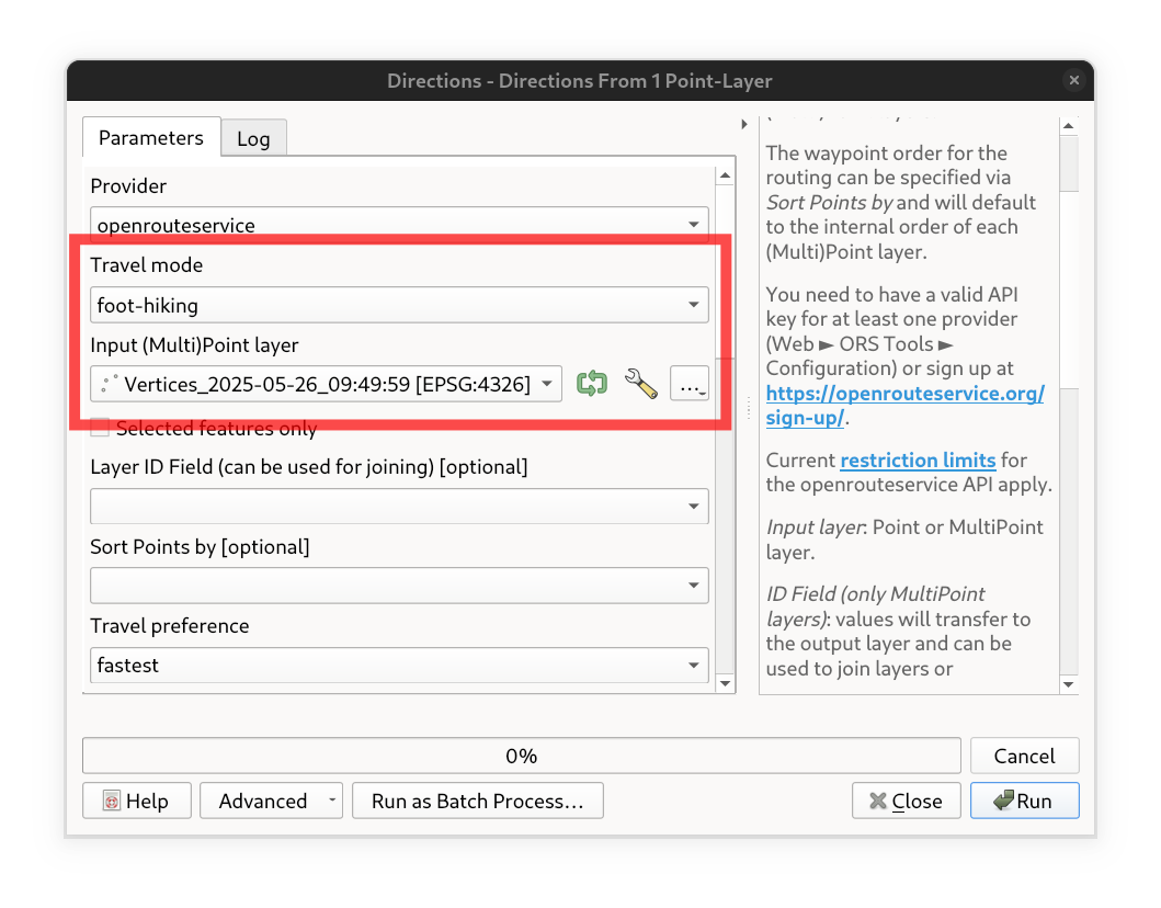
Fig. 26 The Directions from 1 Point-Layer user interface.#
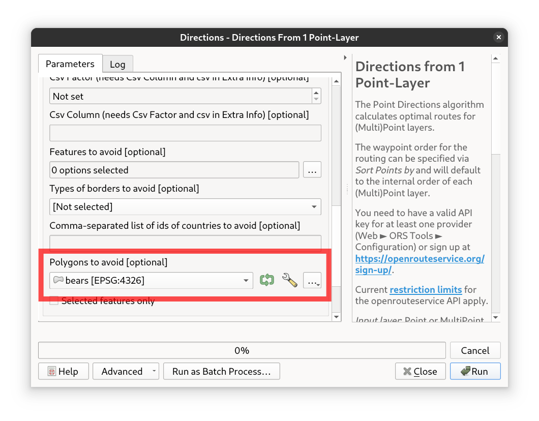
Fig. 27 The avoid polygons parameter in the Directions from 1 Point-Layer processing tool.#
Same old, same old — but now we can easily adjust the parameters and rerun the analysis until we’re fully satisfied with the result.
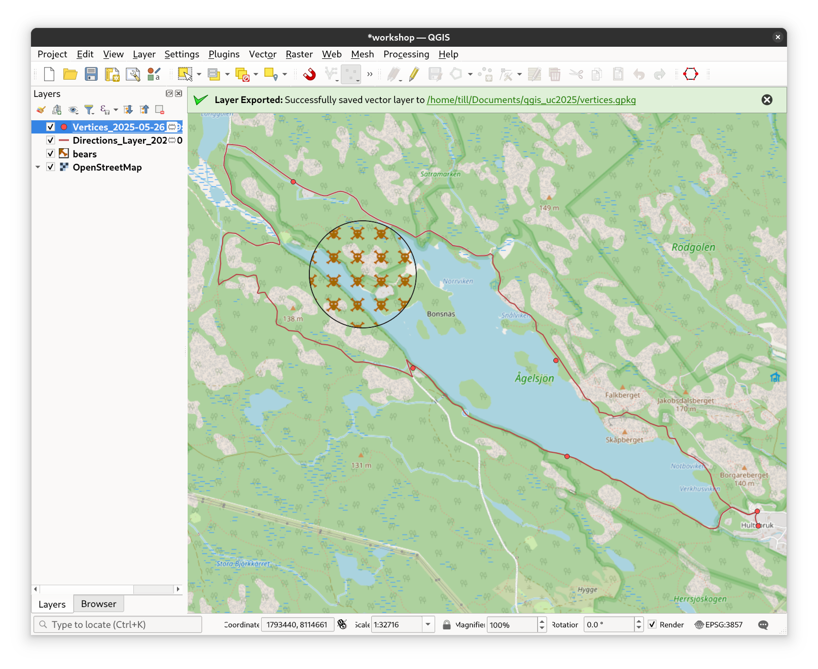
Fig. 28 The resulting layer#